PIXYS 3D - multi-level indoor geolocation
PIXYS 3D · Multi-environment tracker

Located everywhere.
Even underground.

3D geolocation in outdoor, indoor and underground environments on a single device. Quad-constellation GNSS, Wheere technology and 9-axis IMU - without continuity gaps between environments.

~1 mindoor accuracy · Wheere technology
30 mconcrete penetration
1 km²covered · 1 to 4 gateways
PIXYS 3D - TRAAK multi-environment tracker

One device for outdoor, indoor and underground - seamless signal continuity across all environments. Defence version awarded the 2024 Innovation Prize by the European Defence Agency.

Designed & developed in France

THE REFERENCE SOLUTION FOR 3D INDOOR GEOLOCATION

Onboard technologies

One device, all environments

PIXYS 3D combines multiple positioning technologies in a single unit, GNSS for outdoors, Wheere technology for indoor and underground, with automatic and continuous transition between environments.

Multi-network communication (cellular, radio frequency, BLE).

For real-time tracking at every level (operator, command centre).

Wheere (wheere.com) technology - CW 100–450 MHz broadcast signal transmission. 1 to 4 gateways depending on site size. Outdoor placement. ~1 m accuracy. Concrete penetration: 30 m.
2024 Innovation Award - European Defence Agency
Quad-constellation GNSS
GPS, Galileo, GLONASS, BeiDou. SBAS/NTRIP correction. Precise outdoor positioning.
Wheere technology (indoor)
CW 100–450 MHz broadcast signal transmission. ~1 m accuracy. 30 m concrete penetration. 1 to 4 gateways depending on site size. No UWB, no WiFi.
9-axis IMU
Fall, impact and immobility detection. Automatic Lone Worker PASS alerts.
Communication
LTE + RF LoRa, DeepCom + 2× BLE
Key features

Built for constrained environments

Outdoor / indoor / underground continuity
Automatic GNSS → Wheere transition depending on the environment. Continuous position without interruption when entering or exiting a building, tunnel or bunker.
Ultra-light, outdoor infrastructure
1 to 4 antennas depending on site size, up to 1 km². Deployable in under an hour, with outdoor antennas. Unlimited users.
Indoor Lone Worker PASS
Automatic fall and immobility detection via IMU. 3D georeferenced alert - latitude, longitude and floor level. For lone workers in buildings.
Open API & C2 integration
Positions and alerts via REST/WebSocket API. Compatible with client C2 platforms. Display on 3D floor plan or operational map. Cavalry integration via BLE.
Use cases

All operational contexts

Team coordination in built-up environments
Locate every team member in built environments
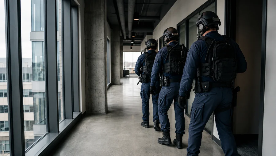
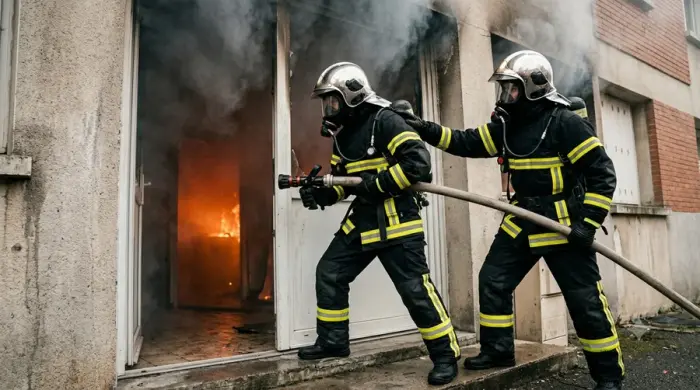
Military BFT, law enforcement intervention, Fire fighters/GRIMP coordination or industrial personnel: continuous 3D position of every team member, from outdoors to basements, without signal break.
Mission continuity across all environments
From outdoors to underground, through buildings or jamming zones, every team member's position remains continuous without break or reconfiguration.
Lone worker safety (Lone Worker PASS)
Lone worker protection
Automatic fall and immobility detection with 3D georeferenced position - factories, warehouses, sites, galleries. Alert sent without any operator action.
Site management and indoor traceability
Indoor site and asset management & traceability
Real-time tracking of personnel, assets and flows in warehouses, factories and hospitals. 3D metric position per floor, integrable via API into existing WMS, ERP or SCADA.
Geofence and sensitive site access protection
Geofencing and access protection
Automatic alert as soon as an operator crosses a defined perimeter. Seveso sites, military bases, exclusion zones - precise position sent to the supervisor instantly.
Next step

Let's discuss your project.

Do you have an indoor location, Lone Worker PASS or BFT need in a constrained environment? Our teams study your environment and propose the right configuration.

Special operations in urban environments
Advanced configuration · On request

Military or B2G requirements?
PIXYS 3D is field-proven.

PIXYS 3D addresses BFT scenarios in urban and underground environments where GNSS is absent or jammed. Our teams qualify each operational need case-by-case.

Discuss your need
R&D TRAAK