PIXYS 3D
PIXYS 3D is using wearable trackers especially designed for the first responders :
- 4 mobile gateways with a kilometer range set up in a few minutes
- 3D position with metric precison (lattitude, longitude, altitude)
- No calibration necessary
- No drift and nà movement limitation
- Patented technology independent of any other system or infrastructure
- Unlimited number of users
- Easy to use even in highly degraded environments

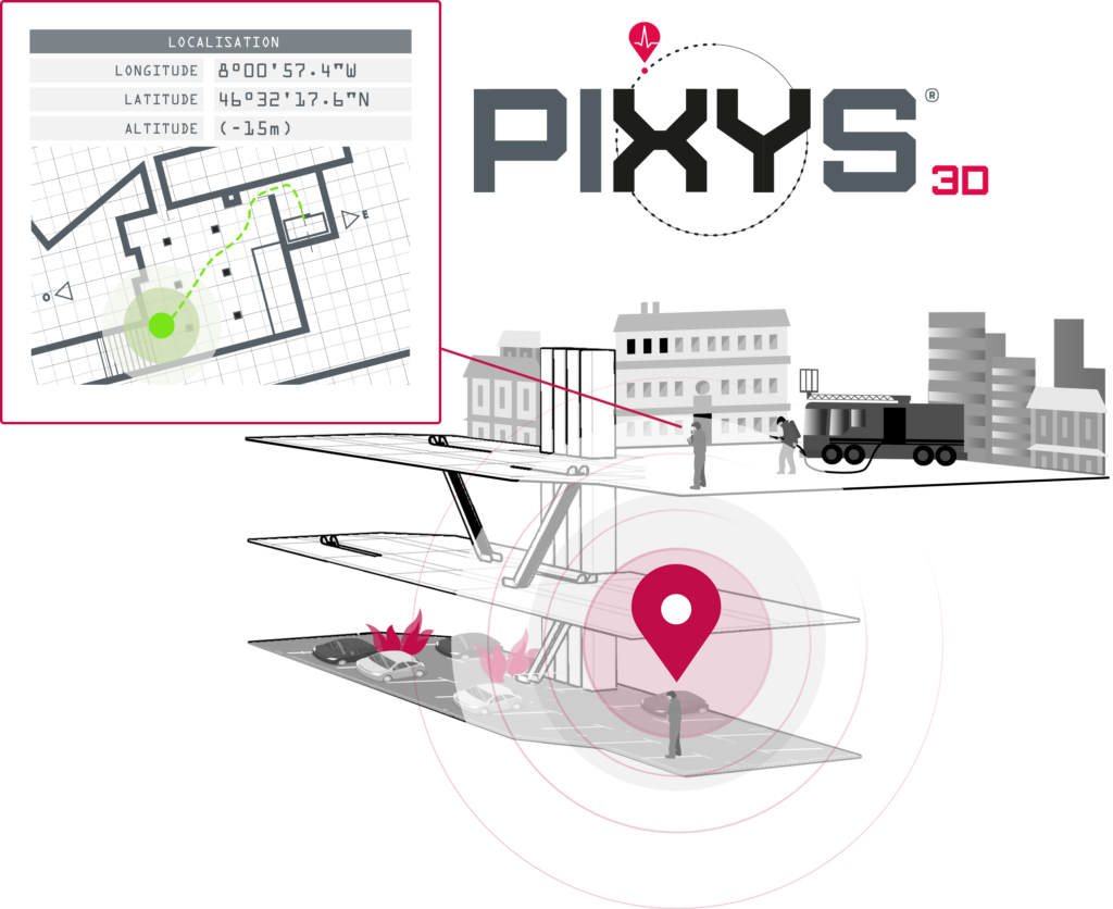
Example of a firefighter tracking system using PIXYS 3D :
Blue Force Tracking
3D geolocation with metric precision for outdoor/indoor/underground environments
Real-time positioning and navigation tracking
Real-time communication, including indoor and underground
Lone Worker Alarm Device capacity
Immobility detection, loss of verticality, and impact detection
Bi-directional communication for geolocation, alerts, and biometric data
Sound alarm (130dB), visual alert with manual, automatic, scheduled, or sensor-triggered activation
Scalable with open architecture
Connection to up to 5 remote sensors via Bluetooth
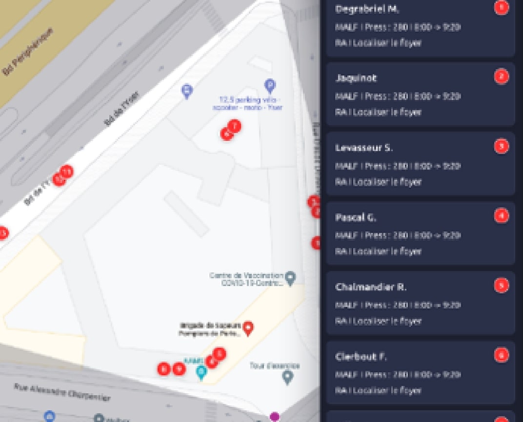
Position reporting on a dedicated app or client supervisor system
Full configuration of alert rules, including geofencing
Visualization with PIXYS 3D :
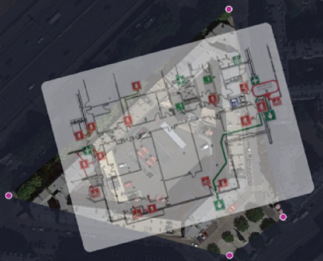
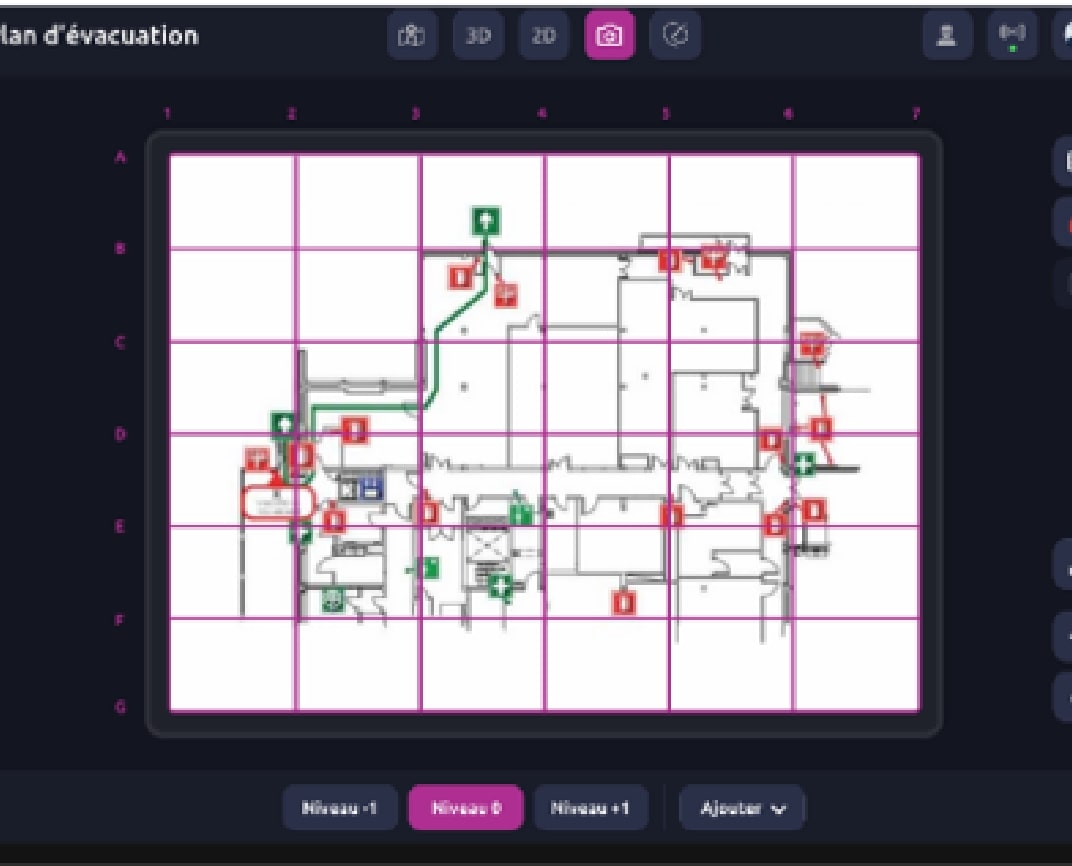
- Visualization from 3D georeferenced plan modeling to a degraded mode by integrating an evacuation plan.
- Ability to manage individual progress, routing, and alerts.
- Tactical grid to facilitate operational communication.
- Open API for greater flexibility.


